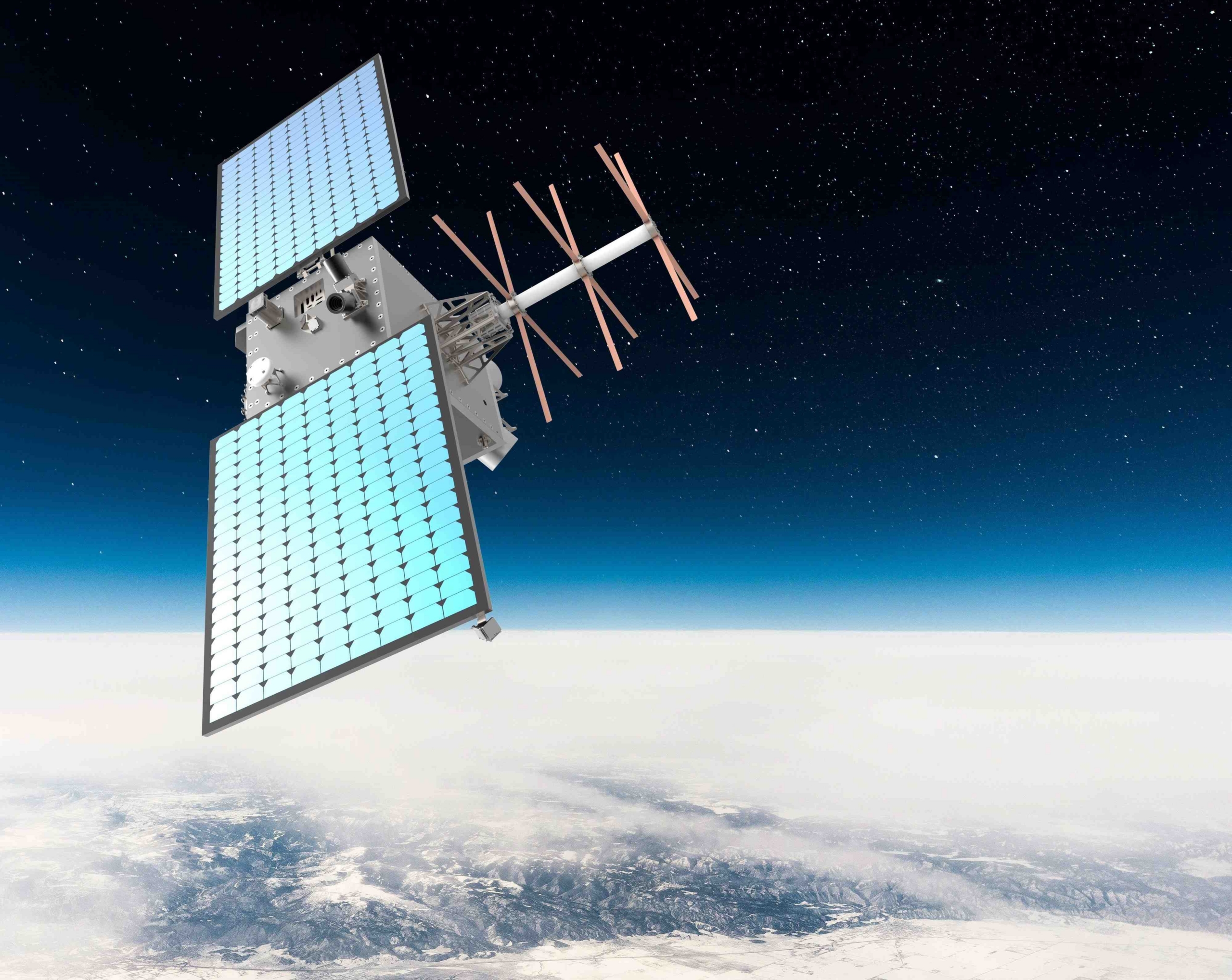
Space Norway has tested the VHF Data Exchange System (VDES) in collaboration with the Nansen Centre (NERSC) during a voyage to the North Pole aboard the Norwegian Coast Guard vessel KV Svalbard. The trials demonstrated several applications for VDES, including collecting and distributing weather data and transmitting information about nearby vessels.
Ships and shore-based stations currently use the Automatic Identification System (AIS) to identify other vessels’ positions, speeds, headings and courses. VDES is a new communications system that uses the maritime VHF network to transmit AIS, ASM and VDE data between ships, shore-based stations and satellites. It complements AIS by enabling two-way digital data exchange, allowing ships to communicate both with one another and with shore.
As part of the High Arctic Ocean Observation System expedition aboard KV Svalbard, Space Norway and the Nansen Centre tested VDES technology by receiving and using validated AIS data operationally, as well as collecting weather data from onboard equipment.
The aim is for vessels eventually to transmit measurements of air temperature, wind speed, wave height, atmospheric pressure, precipitation and ice thickness. Initially, these data will simply be stored on a server, but the longer-term plan is to help meteorological services improve their forecasting models. The next step will be to enable ships to share relevant weather data with other vessels. VDES promises a significant advance in maritime monitoring and two-way information sharing.
– When sailing far offshore, particularly in the Arctic, access to validated AIS data beyond the range of a ship’s own AIS receiver improves situational awareness and operational safety,” says Espen Storheim, Senior Research Scientist at the Nansen Centre, who took part in the expedition to the North Pole.
– We are very pleased to have demonstrated services using satellite VDES in close collaboration with the Nansen Centre and KV Svalbard. The VDES payload aboard our Mimir satellite will enable us to bring maritime services into operational use, improving safety at sea and helping the maritime sector operate more efficiently,” says Lars Løge, VDES Program Manager at Space Norway.

Satellites extend coverage
Coverage from shore-based systems can be limited or non-existent in remote ocean areas and the Arctic. VDES extends the limited range of conventional AIS/VHF communications.
International efforts are under way to develop standardised solutions for authenticating AIS messages using VDES. This could minimise the risk of AIS spoofing — the deliberate manipulation of a vessel’s reported position — and improve situational awareness.
With VDES serving as the communications channel, ground-based AIS systems will determine whether an AIS message is valid. This, in turn, determines which data are transmitted via VDES to vessels such as KV Svalbard.
Space Norway is involved in numerous satellite VDES projects with the European Space Agency (ESA). Satellite VDES improves situational awareness and supports better navigational decisions for ships at sea. Space Norway expects the technology eventually to become a widely adopted international system that complements AIS.
As part of ongoing project work, the services tested aboard KV Svalbard this autumn will be developed further in preparation for new expeditions and trials next year.

Taking communications to a new level
VDES is a communications system designed to advance e-navigation and the digitalisation of shipping. Space Norway has positioned Norway as a global leader in developing the satellite-based component of the system.
Satellite VDES enables low-bandwidth, two-way communications with ships worldwide, including those operating in the Arctic. As an extension of and complement to AIS, VDES operates within the same frequency range. By supplementing coverage from shore-based stations with satellite coverage, the system will provide seamless, robust, low-bandwidth communications to and from most ships worldwide.
VDES equipment for ships is expected to become commercially available during 2027, with AIS functionality included. Replacing existing onboard AIS receivers with VDES receivers will therefore give ships access to the benefits of VDES without requiring new antennas.
Space Norway has contributed to the development of VDES and, in recent years, has tested and demonstrated a range of maritime services in collaboration with the Norwegian Coastal Administration, the Norwegian Coast Guard, the European Maritime Safety Agency (EMSA), ESA, Kongsberg Discovery, Kongsberg Norcontrol, Sternula and other maritime stakeholders.
Space Norway currently operates satellite VDES capacity aboard the Norwegian Coastal Administration’s NorSat-2 satellite and its own newly launched Mimir-1 satellite.